Buy flood insurance in Georgia, build a fresh house close to a creek, or submit permits in low-lying locations.
For these types of processes, you most likely have heard the phrase elevation certificate. Many homeowners and builders view this paper as nothing more than more bureaucratic hoops.
But it also enables you to protect your house, reduce costs, and ensure adherence to local as well as federal legislation.
What is an Elevation Certificate?
An elevation certificate is an official document created by a certified surveyor that specifies the height of your property concerning the FEMA-set base flood elevation (BFE). Simply put, it shows how high your house or construction is from the elevation at which floodwaters are expected to rise over a 100-year storm.
This document can be used for many purposes:
- Flood Insurance: Insurers often require a flood insurance elevation certificate to calculate accurate premiums.
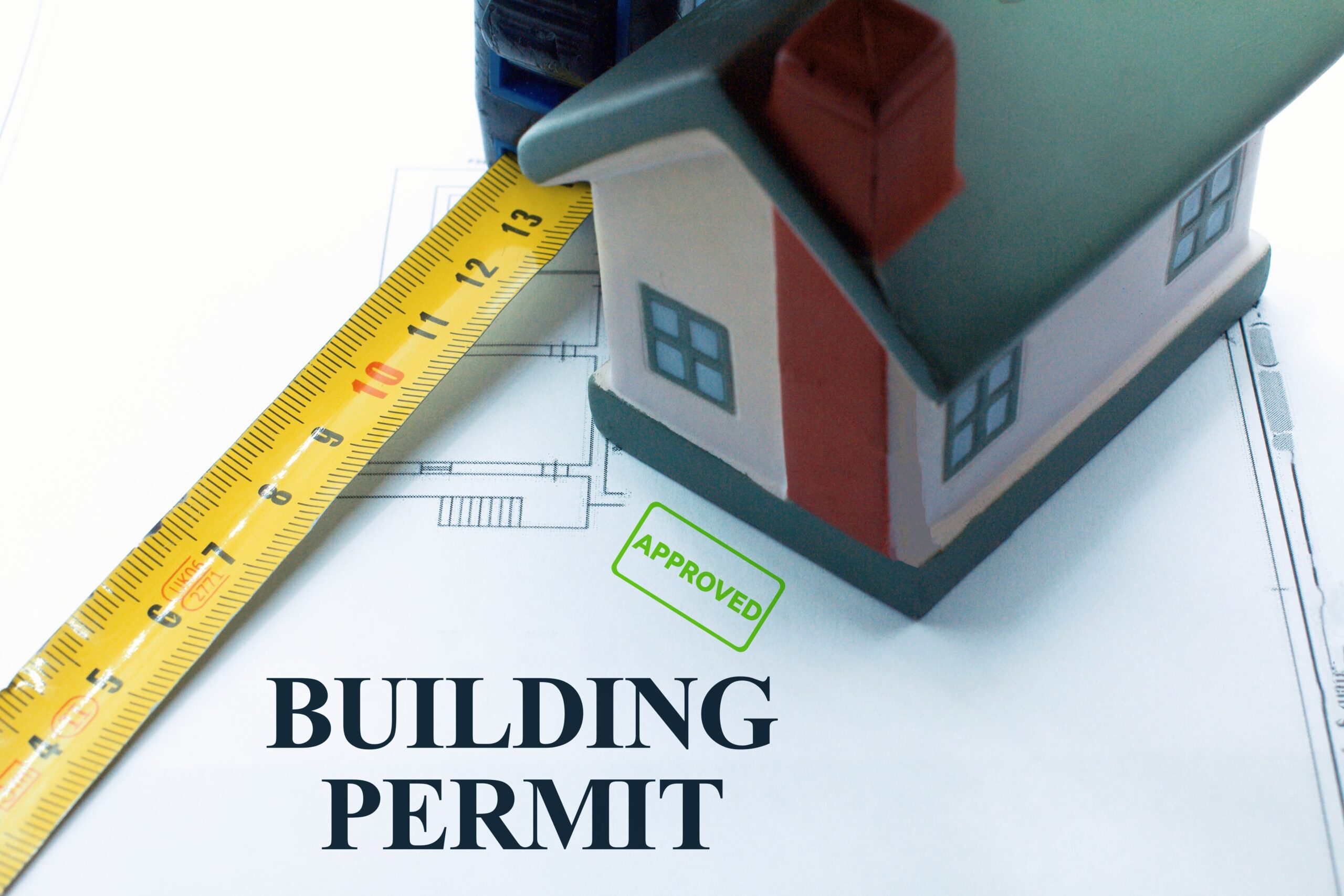
- Construction: A FEMA elevation certificate may be needed before issuing building permits in flood-prone areas.
- Compliance: Some HOAs and municipalities in Georgia ask for an elevation survey certificate when reviewing site plans.
Why Do You Need an Elevation Certificate?
Here are the most frequent circumstances where property owners ask, “Do I need an elevation certificate?”
- For Flood Insurance
- Your insurance provider might assume the worst-case scenario without an elevation certificate, which would result in more premiums.
- Giving a flood insurance elevation certificate could save you hundreds of dollars—even thousands—every year.
- For New Construction or Renovations
- Local building codes often call for an
elevation certificate for construction
in a Special Flood Hazard Area. - Municipalities confirm your project adheres to FEMA flood maps and elevation certificates requirements.
- Local building codes often call for an
- For Peace of Mind
- Many house owners seek an
elevation certificate surveyor
to confirm the flood risk of their property even if not mandated.
- Many house owners seek an
Some Examples
Last year, a homeowner in Acworth, GA, was facing flood insurance premiums that seemed far too high for her property’s location. After contacting Ga Land Surveyor, we provided a precise elevation certificate survey showing her home sat well above the base flood elevation certificate threshold. She sent the report to her insurance provider and her yearly premium decreased by over 40%.
On the business side, a Lawrenceville developer required several licenses for a retail complex close to a creek. To meet county rules, our team produced both a boundary survey and a FEMA elevation certificate. This sped up approvals and kept building on track.
How to Get an Elevation Certificate for Your Property
If you’re wondering who issues an elevation certificate, the answer is straightforward: only a licensed land surveyor, engineer, or architect can prepare one. Here’s the process:
- Hire a Professional Surveyor – Contact a local expert like Ga Land Surveyor.
- Survey & Measurements – We’ll measure your property’s elevations relative to FEMA benchmarks.
- Report Preparation – You’ll receive a completed FEMA elevation certificate, ready to submit to insurers or municipalities.
So,
why do you need an elevation certificate for flood insurance or construction planning?
Because it can directly impact your wallet, your project timeline, and your peace of mind. Whether you’re a homeowner worried about rising premiums, a developer navigating permits, or a municipality ensuring compliance, an elevation certificate provides clarity and confidence.
Need an Elevation Certificate in Georgia?
Contact Ga Land Surveyor right away if you’re unsure whether your property needs an elevation certificate or if you would like to investigate ways to cut your flood insurance premiums. Delivering precise, dependable results you can rely on, our licensed surveyors focus on Metro Atlanta and throughout Georgia.